Understand
Find a building and read what a dated source actually documents.
 Sydney Vacancy AtlasUnderstanding buildings. Asking what comes next.
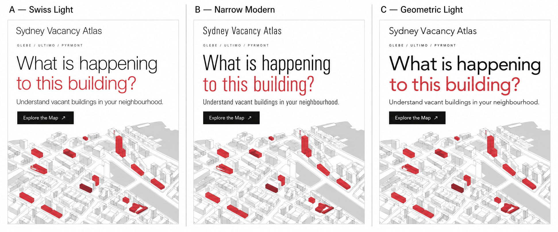
An empty building raises questions. What is known, why is it unused, and what happens next?
A neighbourhood research project bringing dated evidence and open questions together, with public buildings at the centre of our advocacy.
Explore the MapLoading registered properties… · Updated
WHY THIS MAP EXISTS
We advocate for clear, regularly updated information about long-term vacant public buildings: why they are empty, who is responsible, what comes next and whether reuse has been assessed.
For each case, we bring published information together and mark what remains unknown.
Our immediate goal is better information.
WHO IT IS FOR
This initiative is designed to help anyone interested in these vacant buildings clearly understand the current status of unused public buildings in their area.
No architectural or planning knowledge is required.
Our goal is to bring together all publicly available information on each building and identify what remains unknown.
FROM A LOCATION TO A QUESTION
Find a building and read what a dated source actually documents.
See what remains unknown, who could answer and what has been announced.
Share a dated source or correction. Contributions need review before publication.
Explore the map or contribute what you know.
Your submitted information will be published only after it has been reviewed and approved by an administrator.